Surveying &
GPS Modelling
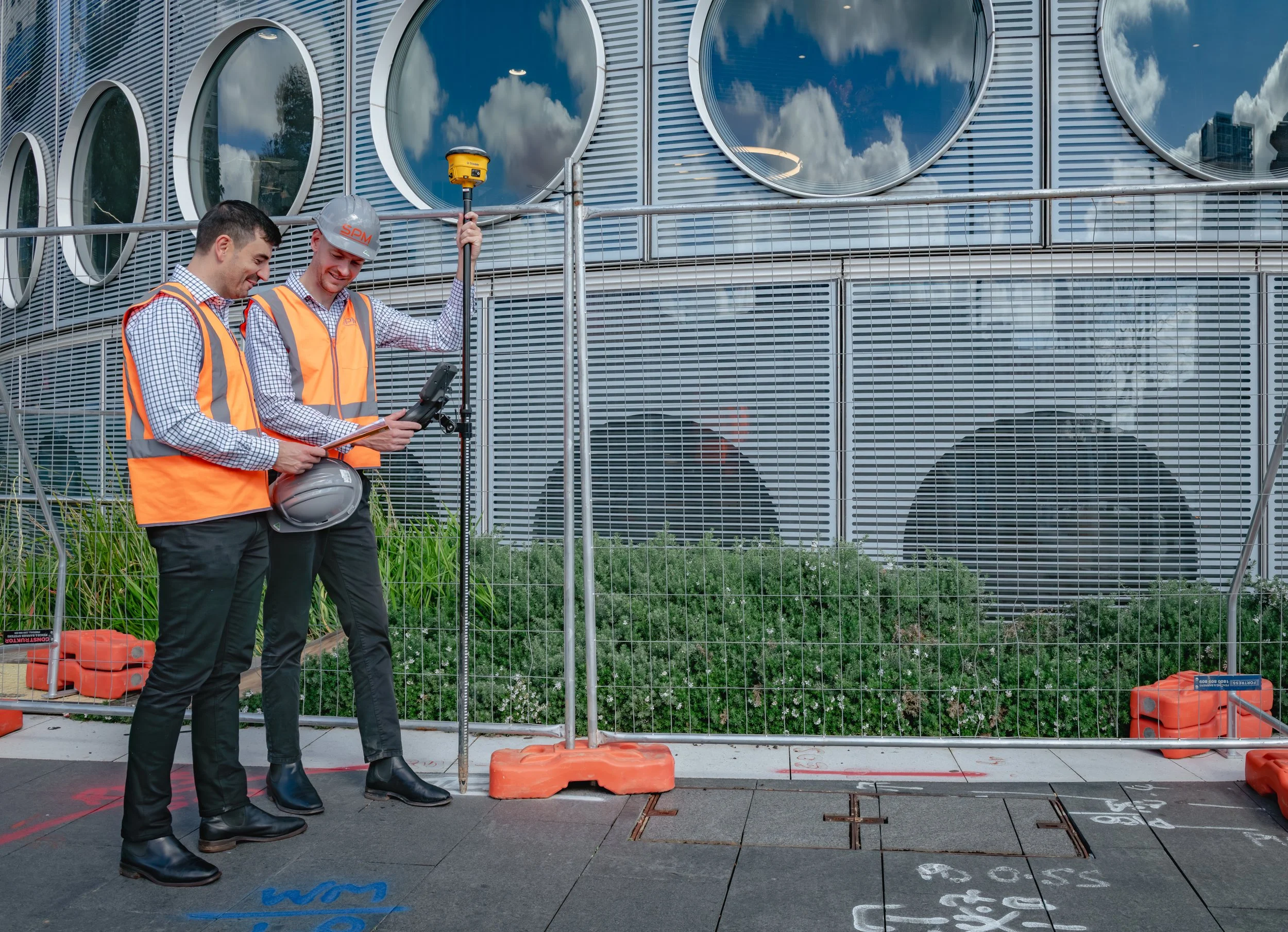
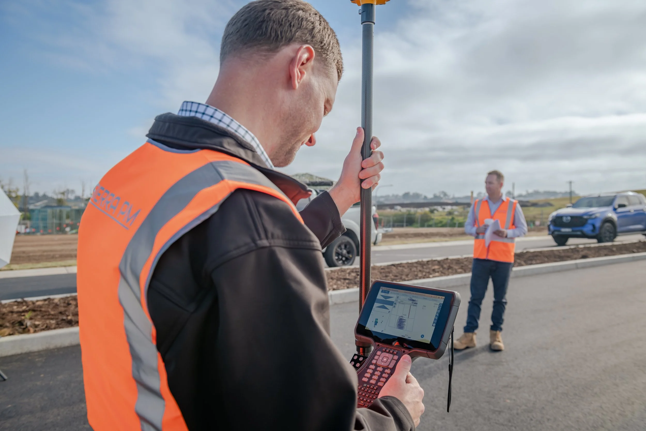
We are civil construction surveyors specialising in transforming complex CAD, design and IFC documentation into accurate, machine ready models that improve productivity, reduce rework and streamline field operations.
Our Services
Our expertise bridges the gap between design, survey, site teams and GPS guided machinery ensuring data is clean, coordinated and ready for real world construction.

Digital Data Management for GPS Guided Machinery
We ensure all design data is properly structured, validated and converted for seamless use across major machine control platforms.

Stormwater, Sewer and Civil Utility Modelling
We create detailed GPS ready trenching and utility models that support fast, safe installation.

Bulk Earthworks and Excavation Model
We create accurate, phase appropriate models that allow bulk earthworks crews to work faster, safer and with less guesswork.

Surveying, GPS Rover Support and Compliance Documentation
We create detailed GPS ready trenching and utility models that support fast, safe installation.
Surveying and GPS Modelling Projects
-
![]()
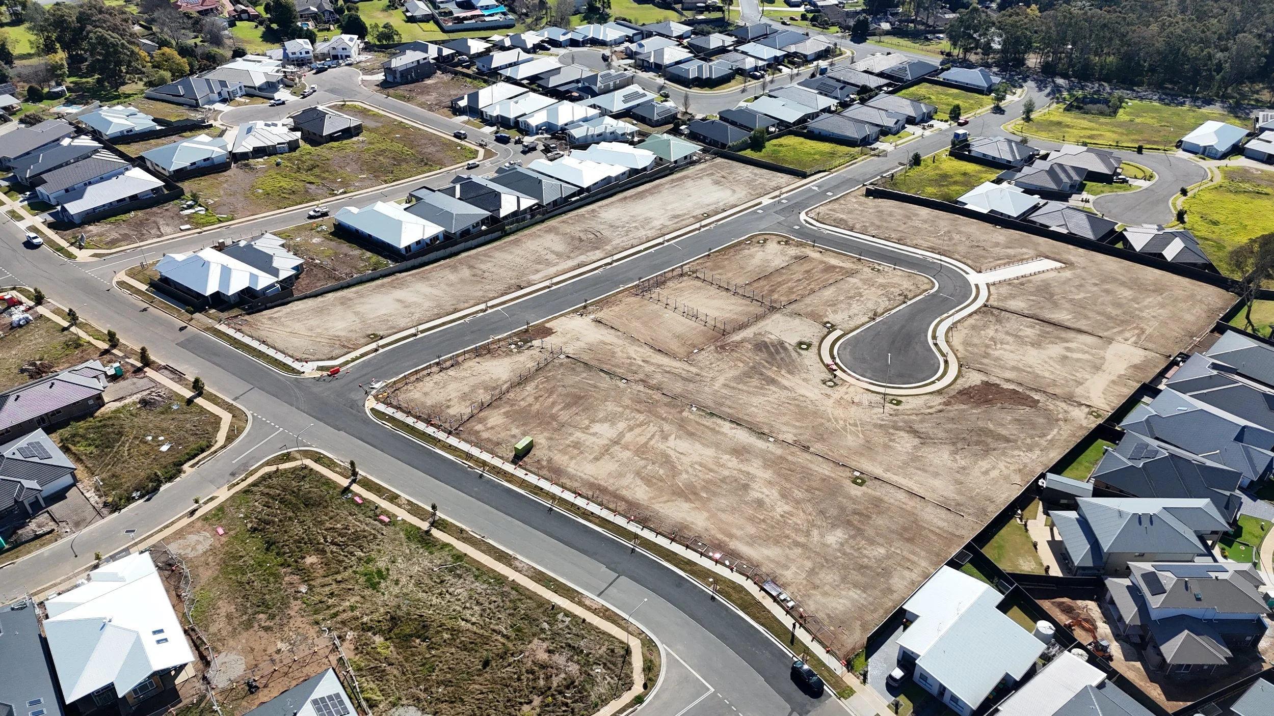
95 Myrtle Creek Avenue, Tahmoor
-
![]()
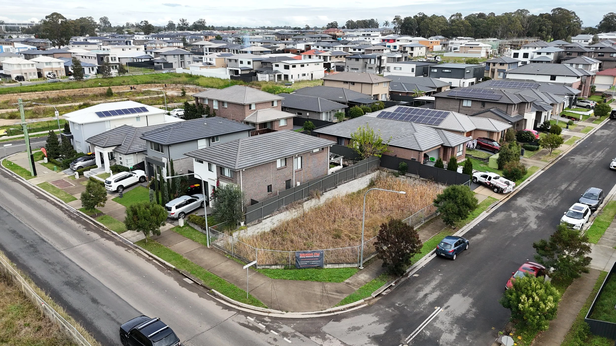
33-45 Seventeenth Avenue, Austral
-
![]()
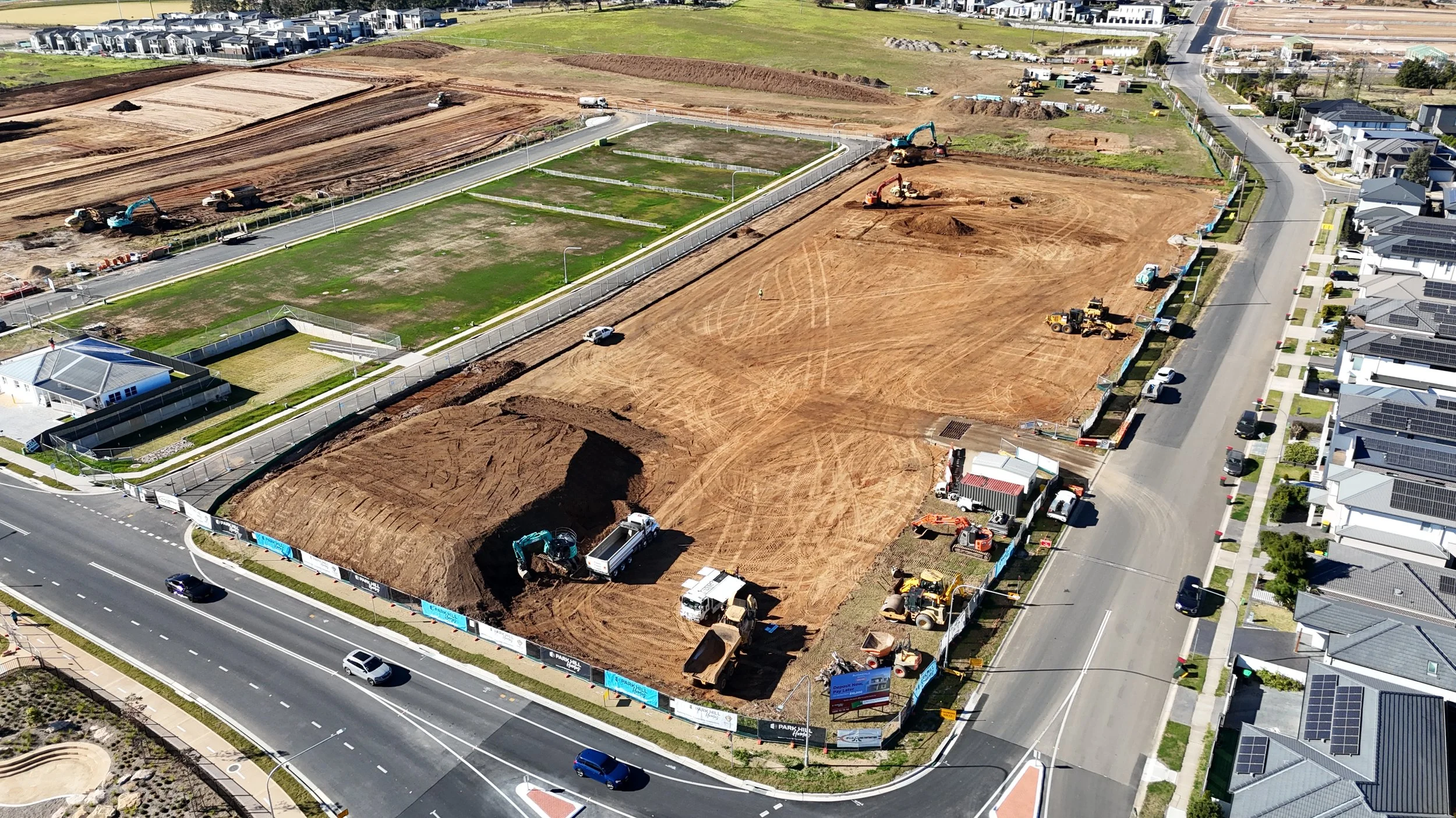
16 Box Road, Box Hill